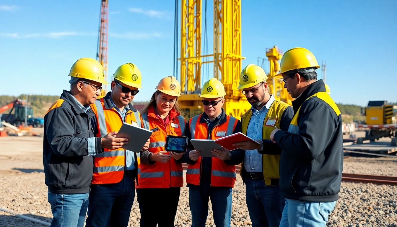
Understanding Geosteering and Its Importance
Geosteering has emerged as a pivotal technique in the oil and gas industry, enabling professionals to optimize drilling operations and enhance resource extraction. By utilizing advanced technology and real-time data, geosteering facilitates the precise placement of wellbores in targeted geological formations. This concept not only minimizes drilling risks but also maximizes the overall efficiency of drilling projects. As a discipline, geosteering combines various methodologies to improve decision-making processes and ensure better outcomes in resource recovery.
As we delve deeper into this subject, it becomes evident why geosteering is essential for modern drilling operations. With the following sections, we aim to explore its underlying principles, benefits, and technologies that drive this practice forward, making it indispensable for successful explorations. For further detailed insights, you can explore www.geosteeringvision.com.
What is Geosteering?
Geosteering refers to the real-time monitoring and management of the drilling process using geological data. The primary goal is to adapt the trajectory of the drill bit based on subsurface conditions observed during drilling — effectively steering the wellbore to remain within a predefined target zone. This is achieved through the analysis of various data inputs, including geophysical measurements and downhole logging results.
The practice originated with the need for more accurate drilling in formations where hydrocarbon reserves are unevenly distributed. By assessing geological features in real time, geosteering allows drilling teams to make informed decisions that can significantly affect the success rate of the operation.
Key components of the geosteering process include the use of advanced sensors, data processing software, and collaboration between various stakeholders in the drilling project. Collectively, these elements facilitate a dynamic approach to drilling, enabling teams to pivot quickly when unexpected geological conditions arise.
Benefits of Geosteering in Oil and Gas Exploration
The implementation of geosteering has brought about numerous advantages to oil and gas exploration, fundamentally transforming industry practices. Here are some critical benefits:
- Enhanced Well Placement: Geosteering allows for precise location adjustments during drilling, significantly improving the accuracy of wellbores and ensuring optimal resource extraction.
- Reduced Drilling Risks: By using real-time data, teams can swiftly address issues such as geological anomalies or changes in pressure, thereby mitigating risks associated with drilling.
- Cost Efficiency: Geosteering minimizes the need for sidetracks or re-entry into wellbores by ensuring wells are drilled right the first time, thus reducing operational costs.
- Increased Recovery Rates: Targeting specific geological formations leads to improved recovery of hydrocarbons, enhancing the overall productivity of drilling operations.
- Improved Environmental Compliance: By optimizing drilling practices, geosteering can help reduce the environmental impact associated with oil and gas extraction.
Key Geosteering Techniques and Technologies
The evolution of geosteering techniques has been closely tied to advancements in technology, paving the way for more sophisticated drilling approaches. Some of the key techniques include:
- Rotary Steerable Systems (RSS): These systems enable continuous rotation of the drill bit while allowing for directional changes, significantly improving drilling efficiency and accuracy.
- Measurement While Drilling (MWD): This technology provides real-time data on the drill’s position and geological conditions, allowing teams to make adjustments on the fly.
- Logging While Drilling (LWD): Similar to MWD, LWD combines data acquisition with the drilling process, offering insight into formation characteristics as the wellbore is created.
As these techniques continue to evolve, they are increasingly integrated with software solutions that enhance data interpretation. The ability to analyze geological data in real time leads to better decision-making and ultimately more successful drilling outcomes.
Essential Tools and Technologies in Geosteering
The effectiveness of geosteering hinges on the use of specific tools and technologies designed to collect, process, and analyze data efficiently. This section will explore some of the essential components that form the backbone of geosteering methodologies.
Real-time Data Acquisition Systems
Real-time data acquisition systems play a crucial role in geosteering by providing instant access to crucial geological information. These systems capture data from various sensors located downhole and deliver it to surface equipment, enabling teams to analyze conditions as they evolve. The importance of real-time data cannot be overstated; it enables swift adjustments to drilling operations, ensuring that the well remains positioned optimally within the target formation.
Typically encompassing MWD and LWD technologies, these systems empower geologists and engineers with comprehensive insights into the drilling environment. By leveraging this data, teams can maintain a proactive stance concerning potential drilling challenges, ultimately enhancing project outcomes.
Software Solutions for Geosteering Analysis
In addition to hardware components, software plays an integral role in the interpretation of geosteering data. Advanced analytical software packages provide users with the tools to visualize subsurface conditions, facilitating effective geosteering decisions. These platforms often incorporate machine learning algorithms that can predict geological trends based on historical data, giving teams a competitive edge in planning and execution.
Furthermore, such software solutions can integrate with reporting tools to provide comprehensive dashboards that visualize drilling performance metrics, helping teams to continually refine their strategies for success.
Integration of AI in Geosteering Processes
The integration of artificial intelligence (AI) into geosteering is revolutionizing how data is analyzed and interpreted. AI algorithms can process vast amounts of geological data, identifying patterns and anomalies that may not be immediately visible to human analysts. This capability leads to more accurate predictions regarding drilling trajectories and potential resource locations.
Moreover, AI can enhance the predictive maintenance of drilling equipment, reducing downtime and increasing overall efficiency. As AI technologies continue to mature, their potential for transforming geosteering operations will only grow, further solidifying its importance in the oil and gas industry.
Best Practices for Effective Geosteering
Implementing effective geosteering strategies requires a comprehensive approach that encompasses planning, collaboration, and data analysis. Here, we outline best practices that can significantly enhance the success of geosteering operations.
Planning and Preparation for Drilling Projects
Successful geosteering starts long before the drill bit hits the ground. Thorough planning and preparation are vital for utilizing geosteering effectively. This process involves geological modeling to understand formations better and active engagement with all stakeholders, including geoscientists, drilling engineers, and project managers. By defining clear objectives and establishing a robust operational framework, teams can ensure that they are well-equipped to adapt to the challenges that may arise during drilling.
Data Interpretation and Decision Making
Effective data interpretation lies at the heart of successful geosteering. Teams must hone their skills in analyzing real-time data and utilizing predictive models to make informed decisions quickly. This requires continuous training and familiarity with both geological formations and the technologies at hand. Building a knowledgeable team dedicated to on-the-ground interpretation can help instill confidence in decision-making processes during critical moments.
Collaborative Approaches in Geosteering
Collaboration among team members and different departments is essential for effective geosteering. Regular communication ensures that everyone is aligned with project goals and can share insights that may arise during the drilling process. Utilizing collaborative software tools can facilitate interactions, allowing real-time inputs and feedback to flow freely between team members, ultimately bolstering the geosteering process.
Challenges and Solutions in Geosteering
While geosteering provides many benefits, it is not without its challenges. This section will cover common hurdles faced in geosteering practices and how to overcome them effectively.
Common Geosteering Challenges Faced by Professionals
Geosteering challenges often stem from unpredictable geological conditions, fluctuations in data accuracy, or technology limitations. These factors can lead to improperly positioned wellbores, inefficient drilling practices, and increased costs. One of the most significant challenges is dealing with unexpected geological formations that may deviate from modeled projections, impacting trajectory adjustments.
Mitigation Strategies for Geosteering Risks
To address these challenges, implementing robust risk mitigation strategies is crucial. One effective approach is to incorporate multiple data sources and comparative analyses when developing geological models. This can enhance the accuracy of predictions and provide a more comprehensive understanding of potential risks. Regularly updating training for drilling teams on best practices and new technologies can also enhance collaboration and decision-making during drilling.
Advancements in Technology Addressing Geosteering Issues
The rapid advancement of technologies aimed at addressing geosteering challenges plays a critical role in maintaining operational effectiveness. Innovations, such as enhanced sensor technologies and more responsive data processing capabilities, contribute to the continuous improvement of geosteering methodologies. As new tools and approaches emerge, they can be integrated into existing workflows, further reinforcing geosteering as a foundational element of successful drilling operations.
Future Trends in Geosteering and the Oil Industry
As the oil and gas industry continues to evolve, so too will the practices surrounding geosteering. This section explores anticipated trends that could shape the future of geosteering and its applications in resource exploration.
The Role of Big Data in Geosteering
Big data is set to become a significant asset in optimizing geosteering practices. The ability to process and analyze large datasets from multiple drilling projects can provide valuable insights for future operations. By identifying patterns and trends across extensive geographical areas, industry professionals can make strategic decisions that improve overall drilling success rates.
Emerging Technologies Shaping the Future of Geosteering
Emerging technologies, including blockchain for data integrity and the continued development of AI algorithms for predictive analytics, will likely redefine geosteering practices. These tools can provide greater transparency in data sharing and enhance the accuracy of drilling operations. By leveraging these advancements, the industry can achieve a higher standard of operational excellence.
Predictions for Geosteering Practices in the Next Decade
Looking forward, geosteering practices are anticipated to become even more autonomous through advancements in automation technologies. It is likely that we will see a trend toward fully automated drilling rigs equipped with AI-driven systems capable of interpreting data and making real-time adjustments. Such innovations promise to increase efficiency, minimize human error, and further reduce operational costs, solidifying the role of geosteering as a key component of the future oil and gas industry.